Borehole map and project records
Open every drilling job from a shared operational map
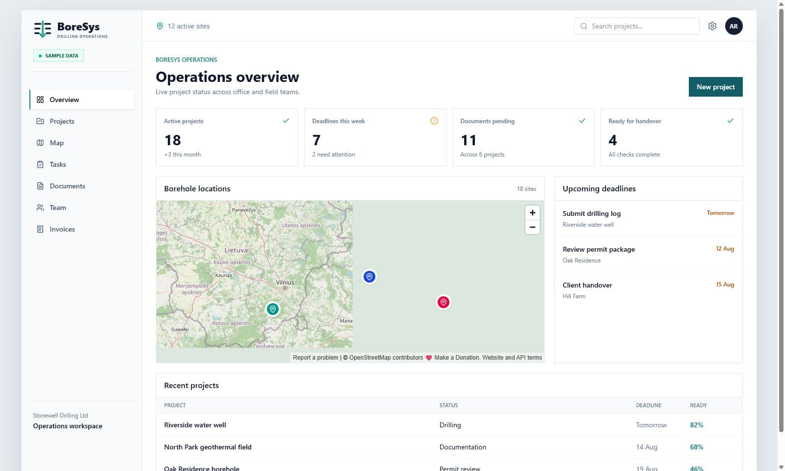
A pin becomes useful when it opens the full operational record. BoreSys connects mapped locations to the current project context instead of maintaining a disconnected list of coordinates.
For drilling companies that need to understand where current and completed jobs are located and what is happening at each site.
Spatial overview
See active and completed work in geographic context.
One click to the record
Open the customer, documents and status from the location.
Durable history
Keep completed project locations available for future reference.
Operational workflow
Move from the map to the work that needs attention
The map is a navigation layer for project operations, not a decorative visual.
- 01
Add the site
Store the project address and location.
- 02
Open from the map
Move directly from the pin to the current record.
- 03
Review context
Check status, people, documents, tasks and invoices.
- 04
Retain completed work
Use historic locations as part of the company record.
Product scope
Location and project status belong together
Coordinates alone do not tell the office whether a document is missing or a customer is waiting. BoreSys keeps location as one part of the complete operational record.
- Shared map for active and completed jobs
- Direct access to the project from its location
- Customer and document context
- Useful history for repeat work and internal reference
Common questions
Is this a geological map?
No. It is an operational project map that links locations to company project records.
Are completed projects retained?
Yes. Completed project locations can remain available as part of the company history.
Can the map replace project lists?
It complements the list by adding spatial context and direct access to each record.
Map your first BoreSys project
Start the trial and see how location changes project navigation for your team.